Sunday, August 25, 2013

Mt Jefferson 5716'


Mt Jefferson 5716 - Parked on Jefferson Notch rd
7.3 miles Caps Ridge; The Link: and The Castle Trail

President Jefferson would have been proud of his mountain, standing with Adams as almost Washington's entourage, like they'd have his back in a fight. Six of us brought the fight to Jefferson this past Saturday, and a fight we found.

The normal route up Caps ridge looked entirely too pedestrian for a full day, so when we walked .9 up the easy grades on that trail we took a left onto The Link. Although the Link is below treeline, the trail shrinks down to a herdpath and gets extremley technical in places. Not alot of elevation, but the trail sits on steep overhangs with small footspaces for a good mile, not forgiving and no place for heavy packs. After some steep elevation and a few real upper body moves we met up with the Castle trail, starting what would be a 5 mile stretch in the alpine zone.

The Castle trail is amazing. My photos do not do it justice, I rank this with Franconia Ridge for views and effort. The Northern slopes of both Jefferson & Lafayette are indeed similar, its just that Jefferson's N slope keeps going on & on! Complete boulder field instead of a trail at one point, had a few of us saying "choose your own adventure".


And an adventure it was, views that close (!) to Washington made everything worth the effort. Best weather you could ever hope for in the Presidentials, 50 degree temps and a warm breeze at the summit, didnt take the hoody or jacket out of the pack all day.
Amazing day and ready for another soon!

Saturday, August 17, 2013

Pemi Quest 2013

N Twin 4761'; S Twin 4902'; W Bond 4540' Zealand Mtn 4260'
Parked cars on Haystack rd and Zealand rd - Slept near Mt Guyot 4500'ish

8 adventurers journeyed the deep wilderness this past weekend in search of meteor showers and high mountains, we found clear views of both. Perseid meteors and cliffs? Ok. Twist my arm.

Water crossings on the N Twin trail were perilous. The guide advises a bushwack on the East side of the Little River, allowing hikers to skip a few of the major crossings. We got lucky on the last crossing as two logs allowed us to walk across, almost fell to my doom! I bet this area could get serious when the water is higher, remember to avoid this trailhead in the future just too crazy.

N Twin herself was quite a cool little peak, doesn't let the southern mountain take all the vistas. Washington looked stunning on a clear day (finally) and you can a great look of Galehead Hut and the rest of the Pemi from a seperate outlook on the western side.

Repeated S Twin. I will come back here again and again and again. If I could live on this peak somehow in my hammock and sell water....


My previous time on the Twinway I was headed in the opposite direction and very fatigued from a journey originating on the Wilderness trail and Lincoln Woods. Rightfully this time I was smelling the roses, got to appreciate the alpine gardens up there and take my time doing it too.

West Bond is amazing and frustrating to say !Right off the trail! from the Guyot Campsite junction. Skipping it last year seems foolish now that I've been back, not that I'm complaining. Bondcliff looks great with a little sunset, and I know it won't be my last from this remote wonderland. People live there entire lives in New Hampshire and they'll never see this place or even know it exists!

Zealand Mountain has no views, just a pile of rocks and a cute sign. I would not recommend hiking in from the hut, that looked like hell on my descent, compared to an easy jaunt up from the twinway on a western approach...The hut was serving potato dill soup ($2) which was ok but the oatmeal cookies sucked. I told her they were great but I'm full of shit sometimes.

The falls and the easy hike out is really just a skip down memory lane at this point. I wont gush on and on about the Zealand rd area (because its my Rivendell), just know that our journey ended there and it was an epic journey at that.

30 Mountains! Full speed ahead next few weeks! I am healthy and leaves are starting to change!


Monday, July 15, 2013

Mt Cannon 4100'


6.1 miles total loop from Lafayette Place
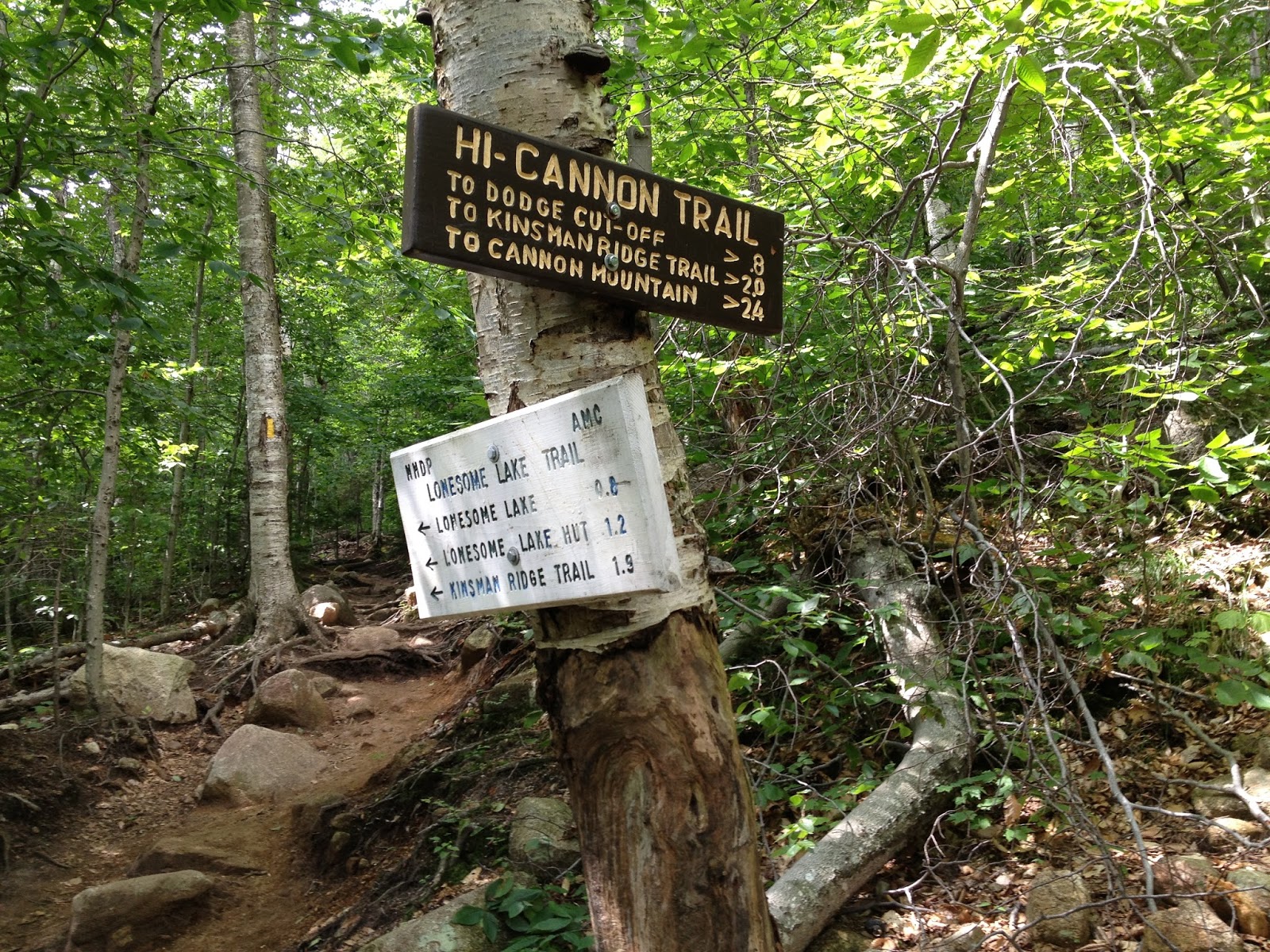
Hi Cannon Trl & Lonesome Lake on the way down

A bar and restaurant at the summit? The Mountains called and eight adventurers heard & answered this past Sunday. Great weather and awesome trail conditions made for an easy day, spent some time at the Hut also.

Hi Cannon was the not easy part. 3 miles straight up but the views were worth it, several outlooks on the way before the summit proper. Ladders and again excellent train maintenance help an otherwise grueling switchback rollercoaster up the Eastern side of Cannon.

Full on Amusement park summit extravaganza. Summer time means the Tram was full  and I was chatting with a pair of grandparents at the summit. I had two beers (ON DRAFT!) and a sandwich, great grub considering the altitude.

Descending the mountain I wasn't even looking at signs. I've been to Lonesome Lake 4 times now, I think I've had better weather with each trip back. The Hut was just as I had left it last, enjoyed some tomato soup ($2) and some free pancakes from that morning, excellent cooking on both the crew was vigilant getting supper ready as we departed.

Great day and good to see so many adventurers on this quest. All the mountains need bars...


Sunday, July 7, 2013

Princess Lillian

When I'm not hiking mountains I'm training young Lily here to stand up. The princess is almost a year old, 2 toofs and before long she'll be out on the trail with me.

I often think about what kind of Dad I'll be when she's older. Will hiking be a part of her life? Will she find the mountains earlier then I did or will she ever hike at all? I'm not going to push a lifestyle on her, she will certainly be exposed to camping on some level with the family and she can take it from there if she chooses. I'll certainly continue hiking throughout her childhood, hoping she wants to tag along and get herself a hammock when the time comes...


Wednesday, July 3, 2013

Mt Moriah 4049'

12 miles via Rattle River & Kenduskeag trails Spent the night @ Rattle River Shelter

3 Adventurers conquered another mountain this past weekend, another tough hike but worth the effort. Slept near the shelter in my hammock, mountain beat us up pretty good so I was in bed early.

No switchbacks just a relentless 2.6 from the shelter up to the junction with Kenduskeag. Great trail conditions but on a hott & humid day I wasn't paying attention, took a fall or two on my descent.

How I stayed injury free last month is a miracle, 3 big hikes is a tall order but I'm trying to step my game up. July is booked but in August I will return...


Thursday, June 27, 2013

Inventory Update

Wow. Look at me in that cover photo! Jeans and a cotton tshirt with SNEAKERS on Osceola (my first 4k). Look at this green ass rookie doing all the wrong shit. What a fool I was, naive to the mountain and her peril. How far I've come! Don't let my meager progress on the 48 deceive you, life is in the journey not the destination. Plenty of long treks under my belt, and plenty of bad experiences with lessons to share...


Cotton bad. Your favorite hoody could kill you someday. Absorbs water and keeps it right there next to you. As that water evaporates, the energy released brings the temperature down signifigantly. So instead of keeping you warm, it is literally surrounding you with cold. In winter this can obviously be a life ending mistake.

Poly Good. Underarmor. Nike Dri-Fit. Polyester. Anything that advertises wicking water and sweat away from you. I wear khaki pants from North Face that zipper the bottoms off and become shorts. Being versatile and waterproof allows me to enjoy my surroundings rather then fear them.


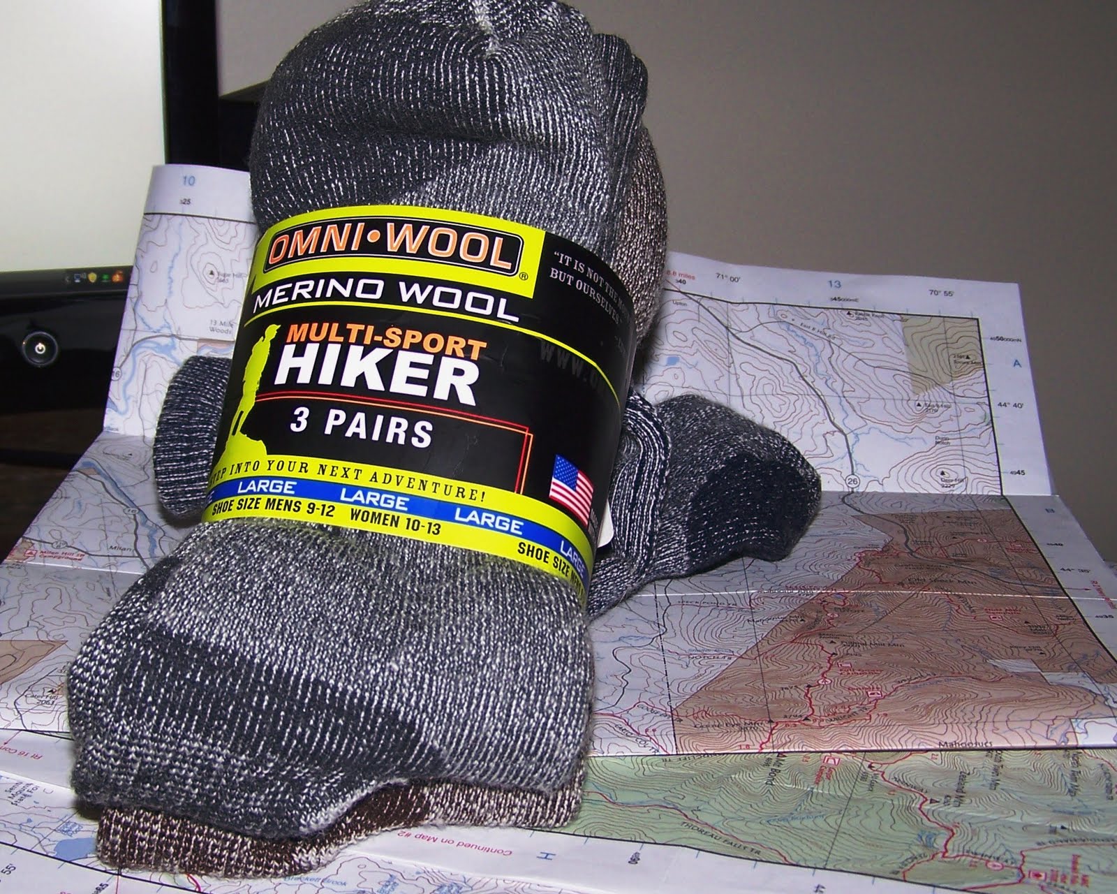
Wool Socks. Bring plenty. The cotton white socks stay at home. Plenty of water crossings out there, which means icy mountain water fills your boot when you miss a rockspot. Not fun even with wool socks, but at least those will dry out before your foot falls of from frostbite. Wool is also a little thicker and tends to absorb some of that descent impact.

Good Boots. Ankle support. Wear em out a little and find a comfy pair before you hit the trails. "Waterproof" is kind of a loose term with bootmakers also, don't believe everything you read. Sneakers are for the brave. I've obviously hiked a few with those orange mountain runners, but the rocky terrain in the whites demands respect. I have done a Dr Scholls gel insert on day2 or 3 of a long journey, didn't make one iota of a difference, trashed them and havent looked back. These boots have seen 2 years of mountains and still have kick! I also use Yaktrax in the winter months....

Rook. Weight bad. This is not my ideal bag, but it gets the job done in place of an expensive overnight bag (mine was stolen). Pack light and tight, you won't need that. You won't need that either. I use a 2L bladder with a hose so I don't have to keep taking the thing off. An ideal bag wouldn't have the ancient metal frame, netting on the sides for water bottles would be nice also.

MSR Pocket Rocket. Gotta eat. Boils water on the summit for a cup of coffee, or some mac ncheese, oatmeal, cup noodles, whatever you can think of.  Scored two small pots from the market for cheap and I can have a spot of tea on the summit. Great kit and super lightweight, the fuel cans are $6 and two of them usually last me a summer season.
 
MSR Miniworks EX. H20. Greatwater filter fits on the nalgene and the nozzle for the bladder. I'll usually bring 3L with me for the day and refill at camp depending on the situation. Placement of water sources along any route should always influence trip planning in the summer months. Drinking alpine spring water can't be beat either, brings you closer to the mountain spirits...


Hennessy Hammock. The Last Airbender. Sleeping on the ground is for amateurs. 4 feet of air is alot nicer to sleep on then a rock and some tree roots. No puddles, and no fuss, if you can tie a rope to two trees your are in business. Mesh upper section is both a bug net and a window to the stars, plenty of nights in this bad boy and plenty more to come.

Kelty Mistral Sleeping Bag. She's rated to zero degrees. The hammock is comfy as hell but cold, late fall & winter I'll add a fleece liner. A good bag is worth the extra weight, knowing you're going to sleep comfortably on trail is a nice thought after a long day.

Wizard Staff. I have skills. Water crossings are easier, descending the mountain is easier, and fighting off the ladies is easier when wielding my hickory staff of mystic mountain power.


Monday, June 17, 2013

Osceola Dayhike

Mt Osceola 4315' & East Osceola 4156'
7.6 Miles -parked @ Greeley Pond Trailhead off the Kanc


Hiked both Osceolas as I start the second half of these Forty Eight. Fitting as Osceola was my first 4k, grabbed the East peak with a buddy Saturday and enjoyed another few moments at this awesome summit.

The Kanc side is tougher then the Tripoli road side, and in different ways. I remember alot of switchbacks and gradual inclines on the tripoli rd side, none of that this time. Greeley Pond trail is very nice, a string of bog bridges and your done ez breezy. Once we took a right after that first junction you hit a wall pretty quick. 2300 feet within 1.5 miles to the summit means we took breaks.  Often.


East peak has more viewpoints then the guide led me to believe. From one angle before the 1st summit I could see directly into the Pemi. Franc Ridge, Owls Head/Garfield and a clear but faraway look at the backside of the Bondcliffs. And although the summit was wooded there's still a nice view looking south (?) just before the summit proper.

Then Mt Osceola proper. Waiting for me like an old friend. Amusement park at the top, plenty of first timers testing their mettle as I once did, aching and groaning with jeans & sneakers. Look at me in the cover photo, I'm wearing all cotton just like them guys. Amazing how far I've come since that day. No turning back now, started the second half and I'm bringing my A game